
From the Leaders in Drone Data Technology
With the growing need for drone-based professional data processing and analytical solutions with advanced features. No need to worry about buying expensive licenses and top-notch hardware.
Henceforth, we would like to extend our services for collaboration of any project size from small to large scale. I strongly believe that our collaboration would hugely benefit both our establishment maintaining complete confidentiality, which would culminate in providing superior output and higher satisfaction services to our clients. Assure you – our cost-effectiveness services and solutions will reduce both your time and in-house working cost beyond 25% – 30% and within the anticipated timeline.
Aerizone Advantage:
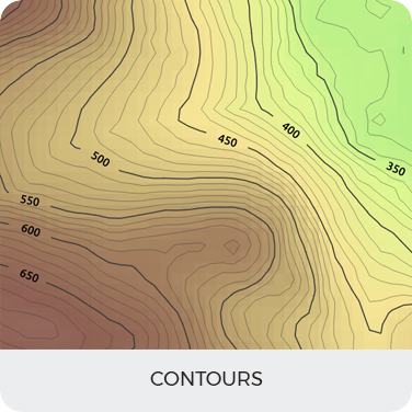
Standard Outputs:
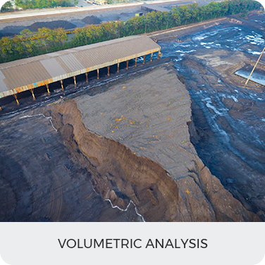
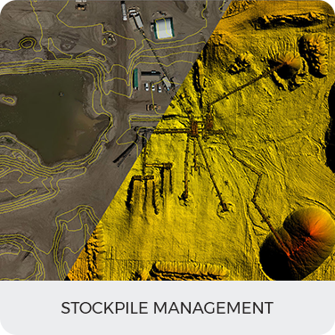
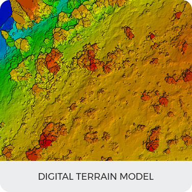
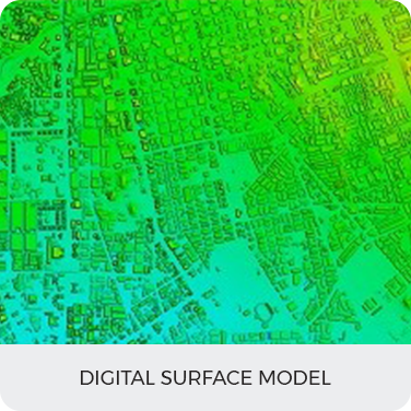
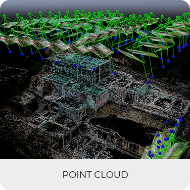
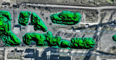
Advance outputs:
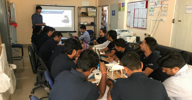
Become a drone pilot and learn to use our software process and analyze data
LEARN MORE
As startup being recognized by the startupInidia initiative by the Department
LEARN MORE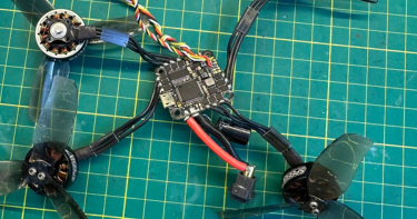
Become a drone pilot and learn to use our software process and analyze data
LEARN MORE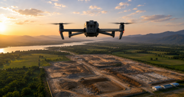
At Aerizone, we specialize in drone surveys that transform aerial data into precise maps, models, and intelligence.
LEARN MORE