
From the Leaders in Drone Data Technology
Drone inspection technology is transforming the way critical infrastructure and industrial assets are monitored, inspected, and maintained. Traditional inspection methods often require extensive manpower, expensive equipment, operational shutdowns, and exposure to hazardous environments. Modern UAV inspection solutions provide a safer, faster, and more cost-effective approach while delivering highly accurate inspection data.
At Aerizone, we are committed to providing innovative UAV-based inspection and survey services along with the conversion of aerial data into actionable business intelligence. As an industry pioneer, Aerizone has successfully completed several first-of-their-kind projects in India and continues to support organizations across the nation through advanced aerial inspection technologies.
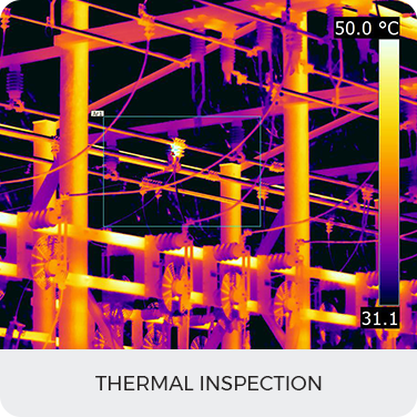
Unlike conventional aerial photography providers, Aerizone delivers much more than images and videos. Our expertise includes close visual inspections, thermal inspections, structural assessments, and asset integrity evaluations for a wide range of industrial and infrastructure sectors. Through advanced sensors, thermal imaging cameras, and engineering-grade reporting workflows, we provide clients with detailed inspection reports prepared by qualified industry professionals according to project requirements and applicable industry standards.
Our drone inspection services help organizations reduce downtime, improve asset reliability, enhance safety, and support proactive maintenance planning through accurate and timely aerial intelligence.
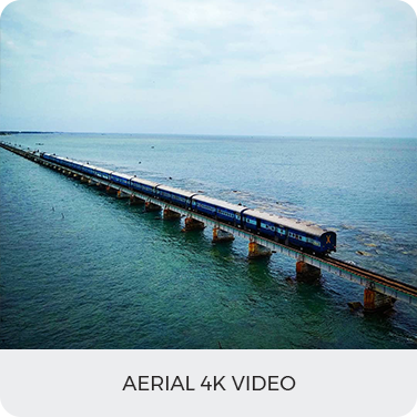
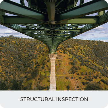
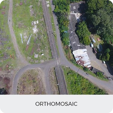
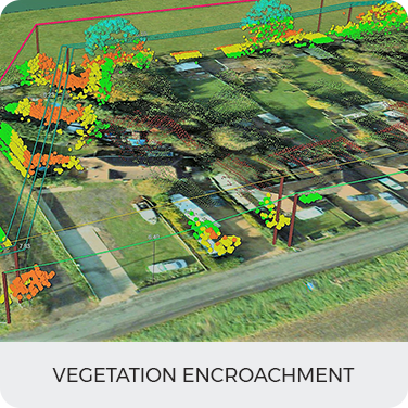
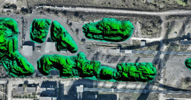
Applications of Drone Inspection Services
Become a drone pilot and learn to use our software process and analyze data
LEARN MORE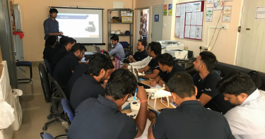
As startup being recognized by the startupInidia initiative by the Department
LEARN MORE
Become a drone pilot and learn to use our software process and analyze data
LEARN MORE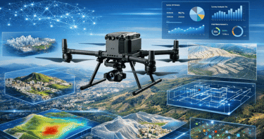
At Aerizone, we specialize in drone surveys that transform aerial data into precise maps, models, and intelligence.
LEARN MORE