From the Leaders in Drone Data Technology
Drone GIS mapping is revolutionizing the way geospatial data is captured, analyzed, and applied across industries. By combining UAV technology with Geographic Information Systems (GIS), organizations can generate highly accurate maps, terrain models, and spatial insights in a fraction of the time required by traditional survey methods.
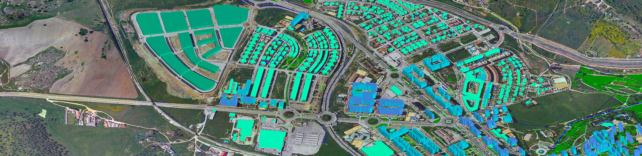
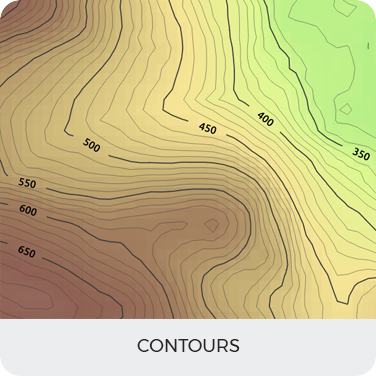
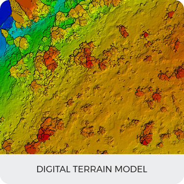
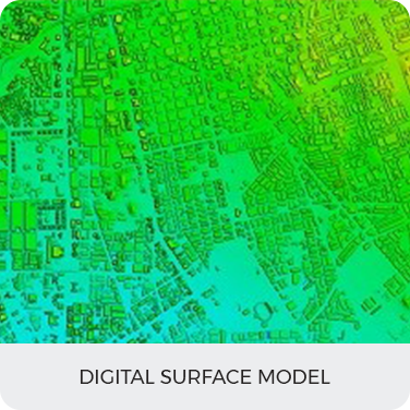
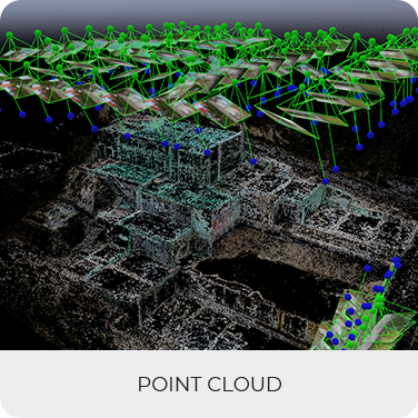
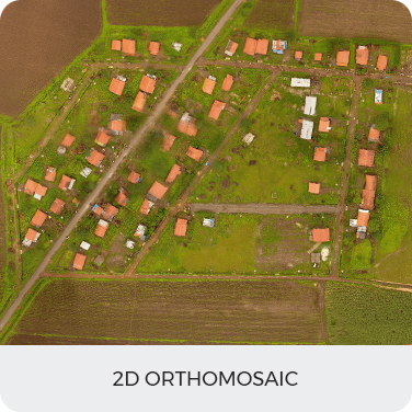
Conventional GIS mapping relies heavily on satellite imagery and ground-based surveys, which can be time-consuming and often lack the required resolution for detailed analysis. Drone-based GIS mapping overcomes these challenges by capturing high resolution aerial data that can be processed into precise geospatial outputs such as orthomosaics, elevation models, and 3D maps.
With advanced UAV sensors and photogrammetry techniques, drone GIS mapping provides real-time data for planning, monitoring, and decision-making. Whether it is infrastructure development, land surveying, mining operations, or urban planning, drone mapping ensures accuracy, efficiency, and improved project outcomes.
Aerizone offers professional drone GIS mapping services designed to deliver reliable geospatial data for engineering, construction, and industrial applications.
Applications of Drone GIS Mapping
Drone GIS mapping is widely used across multiple industries for accurate spatial analysis and planning.