From the Leaders in Drone Data Technology
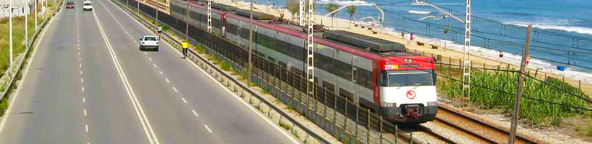
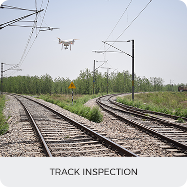
Drone railway inspection has become an essential technology for Indian Railways, which owns and operates more than 121,407 km of total track and over 100,000 bridges and tunnels across the country. As one of India’s largest infrastructure managers, Indian Railways has increasingly adopted unmanned aerial systems to improve productivity, performance, and the time-sensitive reliability of rail-based transport. Several major projects have already undergone railway drone survey operations and railroad drone inspection, proving drones to be a faster, safer, and more cost-effective alternative to traditional survey methods. With the drone railway inspection cost being significantly lower than manual inspections, drones are now viewed as a viable, long-term solution for nationwide monitoring and asset management.
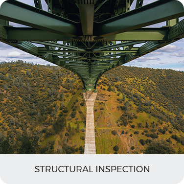
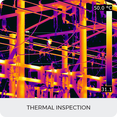
In addition to operational efficiency, the adoption of drone-based monitoring has helped Indian Railways strengthen safety management and reduce on-ground inspection risks. Traditional inspection of critical assets—such as bridges, culverts, embankments, and overhead structures—often requires human teams to physically access hazardous locations. Drone technology eliminates these challenges by capturing high-resolution aerial data from a safe distance. This results in faster workflows, reduced downtime, and improved decision-making for maintenance operations.
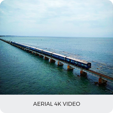
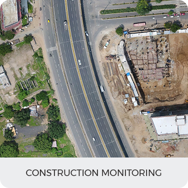
Our drones can reach speeds of 30–50 mph, hover steadily at precise locations, and capture high-resolution aerial data across complex terrains. These advanced capabilities make aerial monitoring of construction work, track alignment, OHE installation, bridges, tunnels, yards, and corridor development far more efficient. Drones allow inspections to be carried out without track closures, significantly reducing the number of times engineers must enter high-risk rail zones—improving safety and accelerating decision-making.
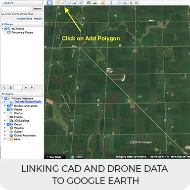
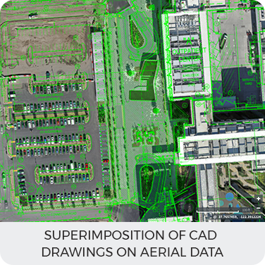
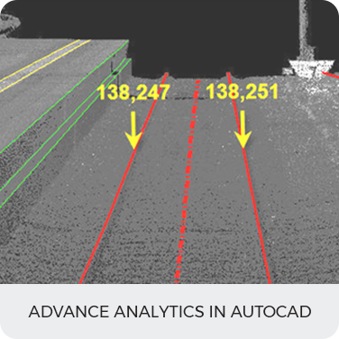
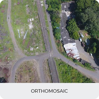
Beyond inspections, drones play an important role in project planning and documentation. For large-scale railway modernization or new line development, drones generate precise topographic data, orthoimages, and 3D models that help engineering teams analyze terrain challenges and plan alignments more accurately. This not only reduces project delays but also enhances the quality of design and construction oversight. The integration of drone data with CAD, GIS, and BIM platforms has further transformed railway infrastructure management by enabling real-time validation and seamless digital workflows.
As an experienced drone inspection company, Aerizone is committed to deploying advanced UAV technologies that optimize O&M activities, minimize delays, enhance safety, and support project delivery for Indian Railways. Our extensive capabilities include:
To support asset management and maintenance planning, drone data enables continuous monitoring of vegetation encroachment, structural distress, ballast conditions, drainage blocks, and right-of-way obstructions. With AI-assisted analytics, anomalies are detected automatically—helping engineering teams act before failures occur. This predictive approach significantly reduces the likelihood of incidents and service interruptions.