From the Leaders in Drone Data Technology
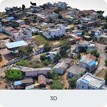
Drones in construction are redefining how modern projects are planned, monitored, and executed. In today’s fast-paced infrastructure environment, relying solely on traditional drawings, elevations, and manual site inspections often limits visibility and delays decision-making. Here, drone technology makes a significant difference by enabling construction teams to shift from static 2D documentation to dynamic, data-rich 3D aerial analytics that deliver real-time insights.
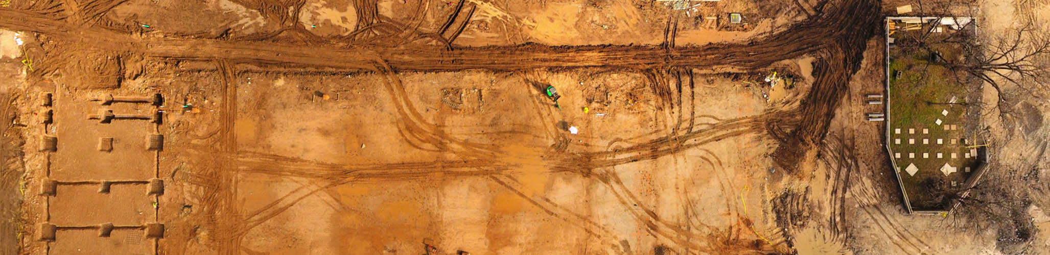
Here drones can make a huge difference. Instead of analyzing over line drawings and elevations in CAD, a more proactive approach is to analyze 3D data with complete aerial analytics. A key advantage of thinking about aerial analytics rather than drawing is that they are highly detailed and can be produced in a quick time, making it possible to conduct studies and planning in a much shorter time span. This shift allows project stakeholders to visualize progress, detect deviations, and validate construction accuracy far more efficiently.
Traditionally, most GIS analysis has relied on satellite and land surveys. However, the drawback of this time-consuming approach is that it is reactive—we must wait longer for data collection and processing before planning the next step. In high-traffic construction environments, even a few days of delay can impact timelines and costs. Drone construction surveying overcomes these limitations by delivering rapid, high-resolution site data that supports immediate analysis and faster execution.
By deploying UAV construction monitoring, teams can continuously assess earthwork, structural progress, site logistics, and safety conditions. Aerial data captured through drones enables proactive planning rather than reactive problem-solving, ensuring that construction schedules remain aligned with project milestones.
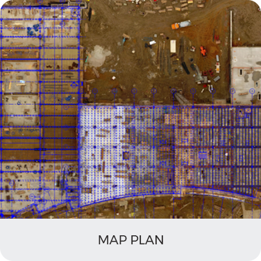
Aerizone’s Aerial Documentation administrations are on the front line of innovation, offering our customers a one-of-a-kind technology to summarize and abridge their projects in a progressed and polished way. Through advanced drone workflows, we enable accurate drone site mapping, construction progress tracking drones, and seamless collaboration between field teams and office-based planners.
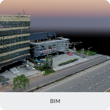
By combining drone data with CAD, GIS, and BIM platforms, UAVs for construction project management provide engineers and decision-makers with accurate as-built conditions, visual validation, and spatial intelligence. This integration is especially valuable for large-scale developments, highways, industrial plants, and drones in infrastructure development, where accuracy and coordination are critical.
Beyond planning and documentation, drones also play a vital role in inspection and safety. Drones for building inspection allow teams to assess façades, rooftops, structural elements, and hard-to-reach areas without scaffolding or site disruption. Aerial drones for construction safety reduce human exposure to hazardous zones while maintaining consistent inspection coverage. Additionally, drone volumetric analysis enables precise measurement of stockpiles, excavation volumes, and material movement, supporting cost control and resource optimization.