
From the Leaders in Drone Data Technology
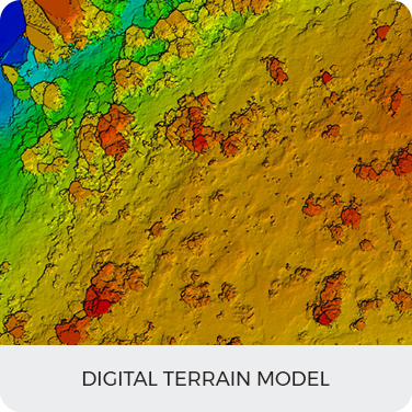
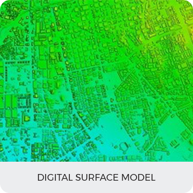
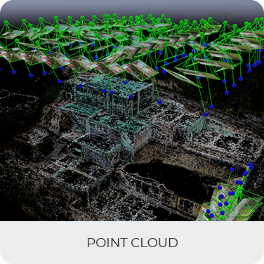
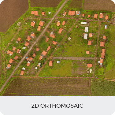
Aerizone’s Drone-based geospatial Information empowers enterprises with reliable alternative data sets to make better-informed decisions. Our UAV pilots are busy round the year flying a variety of Drones for mapping projects.
We always strive to provide services at an extremely competitive charge and in adherence to all regulatory guidelines to deliver you a range of advanced GIS analytics.


