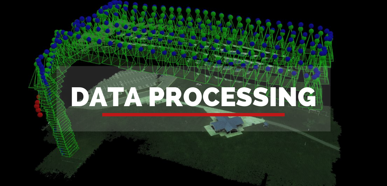

2D and 3D mapping can be utilized in the administration of Building or Structures, in Agriculture, in Forest Service, in Mining Industries, Land Soil Development, in Pollution Control, in Flood Management, in Planning Presentation and so on. 2D/3D mapping is made with our unmanned drones following a pre-designed flight way, which gathers an large grouping of overlapping geo-tagged images. The information or images, data is then produce to specific mapping software to designed to make a 2D topographic map, 3D display or to extract land or property estimations from the information which gathered.
2D and 3D mapping is the most used tool from Aerizon and gives communicative answers for the owner administration, make idea and building management utilizing models of terrain, an estate or property. This permits our clients better route of overview of survey and can be utilized across over different applications or within the presentation.
While making a 2D or 3D mapping using Arial technology, the fundamental focus is on where the drone camera is pointed and whether you are requiring a map or making models of statues and so forth. This procedure requires numerous photographs to be taken by the drone from a particular flight path, or waypoint that are basically covered to make the required final result.


As startup being recognized by the startupInidia initiative by the Department
LEARN MORE
Become a drone pilot and learn to use our software process and analyze data
LEARN MORE