
From the Leaders in Drone Data Technology
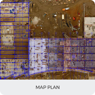
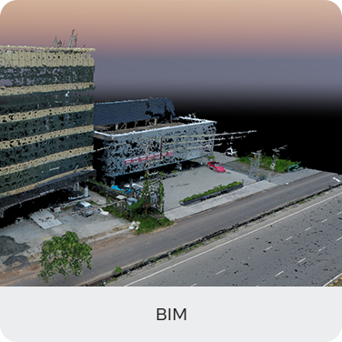
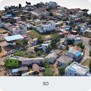
Here drones can make a huge difference. Instead of analyzing over line drawings and elevations in CAD, a more proactive approach is to analyze 3D data with complete aerial analytics. A key advantage of thinking about aerial analytics rather than drawing is that they are highly detailed and can be produced in a quick time, making it possible to conduct studies and planning in a much shorter time span.
Traditionally, most of the GIS analysis has relied on satellite and land surveys. However, the drawback of this “time taking approach” is that it is reactive—we have to wait longer for data collection and processing in order to plan the next move. In a high-traffic situation, only several days are needed to collect enough data required for analysis.
Aerizone’s Aerial Documentation administrations are on the front line of innovation, offering our customers a one of a kind technology to summarize and abridge their projects in a progressed and polished way.


