Loading

AERIZONE INDUSTRIES

From the Leaders in Drone Data Technology

UTILITIES & TELECOM

Aerizone’s utility solutions have been quite advanced with UAV technology over the past few years. We are using cutting edge technology in terms of hardware and software to take to the sky and provide our clients with imagery & analysis derived from UAV (drone) data acquisition. This enables clients from many sectors to see the big picture and have greater situational awareness.

We believe in empowering humans with the latest UAV technology rather than replacing them with machines. We are working continuously toward enabling workers on the front line, on the road, and in the field to make smarter decisions, solve tough problems, and do their jobs better.

We take it as a mission of combining the power of aerial data and the power of people, across global industries. The results of this combination of Human and technology can be staggering with enhanced safety and security, and greatly increased human capacity.

we can accomplish for your organization – likely at costs much less than you would imagine.

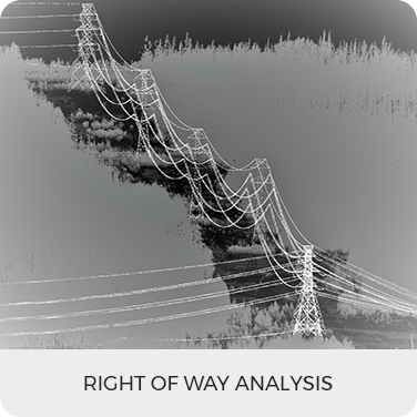
  • Right of way analysis
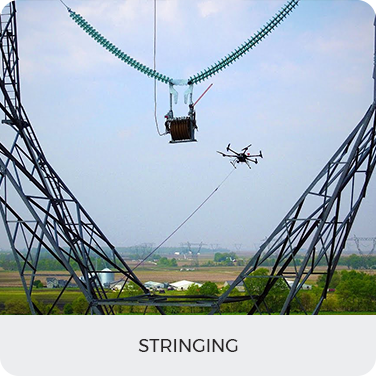
  • Stringing
  • Operation and Maintenance
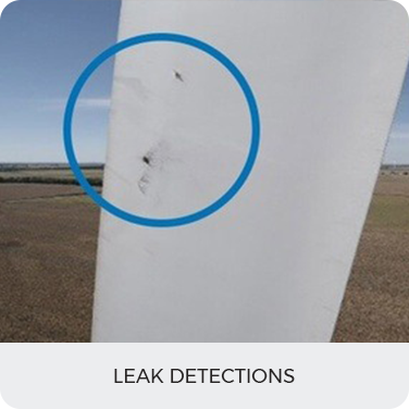
  • Leak Detections
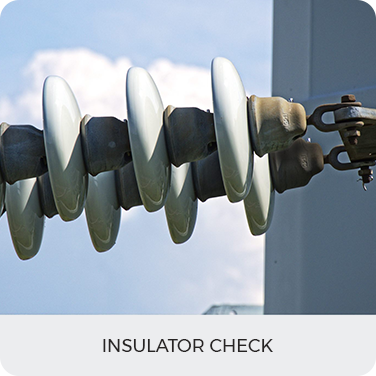
  • Insulator check
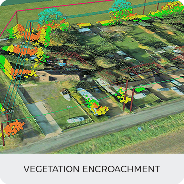
  • Vegetation Encroachment
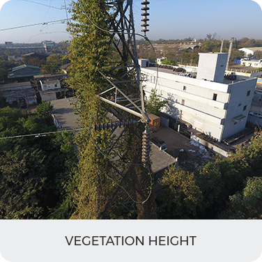
  • Vegetation height
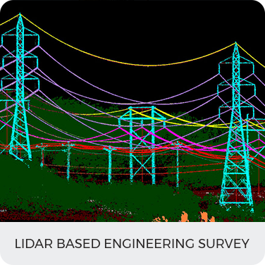
  • LiDAR-based Engineering Survey
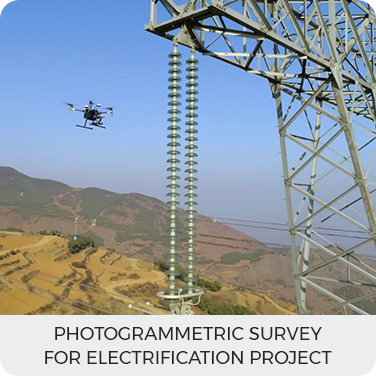
  • Photogrammetric survey for the Electrification project
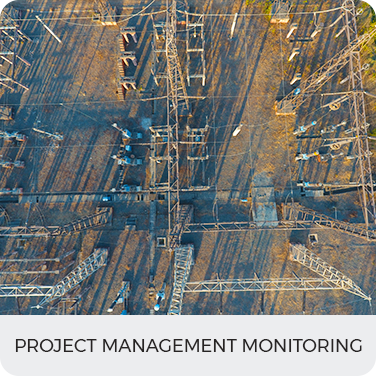
  • Project Management Monitoring
  • Terrain Information
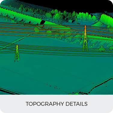
  • Topography Details
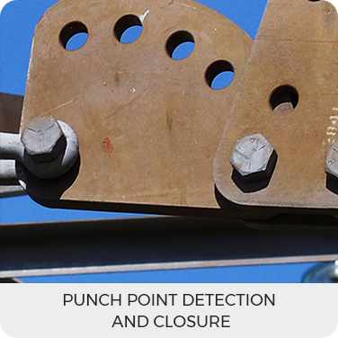
  • Punch Point Detection and closure

Benefits

  • Risk at work has lower down to zero and has made inspection more safer, faster and accurate.
  • Drones give high-quality images that can be used for high-quality infrastructural digitalization.
  • In comparison to the traditional method, it has minimized the cost of inspection.
  • Power will not be shut down while doing the inspection task.
  • Man Labour need not travel the mountains and forest to carry out the inspection.
  • The number of Site visits will be reduced since a UAV will give all the necessary details required for the inspection.

Deliverables

Topography Details
Vegetation height
Right of way analysis
Project Management Monitoring
Vegetation Encroachment
Stringing
Photogrammetric survey for Electrification project
Operation and Maintenance
LiDAR based Engineering Survey
Leak Detections
Insulator check
Punch Point Detection and closure

Contact us today to see what we can do for your business

CONTACT US