From the Leaders in Drone Data Technology
In today’s world, sustainable forest management and wildlife protection are more critical than ever. Aerizone brings a cutting-edge drone for forestry solution that empowers governments, forest departments, conservation organisations, and private landowners to monitor vast forest landscapes efficiently and with precision. By combining advanced UAV platforms with intelligent sensing and analytics, Aerizone makes complex forestry operations simpler, safer, and more cost-effective than traditional ground-based approaches.
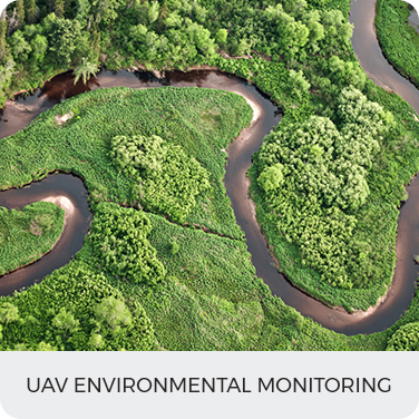
Forests are dynamic ecosystems that are constantly changing due to natural events, human activities, and climate-driven disturbances. Manual forest surveys are often slow, expensive, and limited by accessibility. Aerizone’s drone forest mapping and aerial drone monitoring forestry services offer a modern alternative—providing high-resolution aerial imagery and data that deliver actionable insights for full-scale forest management and conservation.
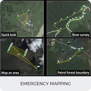
Comprehensive Forestry Drone Survey Services
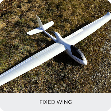
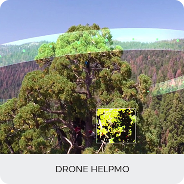
Aerizone’s forestry solutions leverage precision UAV platforms equipped with cutting-edge sensors like visual cameras, thermal imagers, multispectral units, and night vision capabilities to meet diverse mission needs. These drones are capable of capturing detailed forest structure, species distribution, and environmental changes across large terrain, significantly reducing manpower and time requirements while improving accuracy.
With Aerizone’s forestry drone survey solutions, organisations can perform:
Advanced Monitoring for Wildfire & Environmental Risks
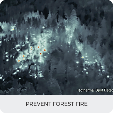
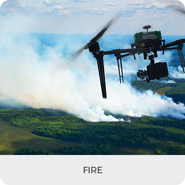
Forest fire detection and prevention are among the most crucial applications of modern UAV solutions. Aerizone’s drones support drone forest fire detection by offering real-time thermal imaging and aerial observation that can spot heat signatures, hot spots, and smoke formation before fires escalate. This early detection capability enables rapid response, minimises damage, and protects valuable natural resources and human settlements.
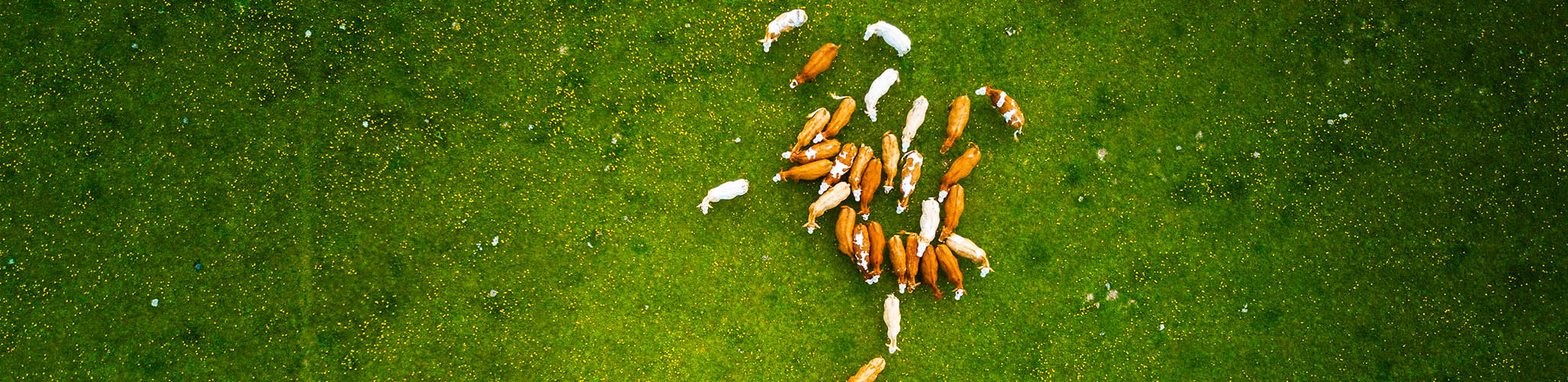
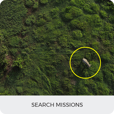
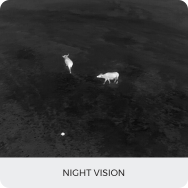
In addition, Aerizone’s UAV for wildlife monitoring services provide a non-invasive way to observe animal populations, assess habitat health, and support biodiversity research. Using high-resolution video and thermal imaging, drones can monitor behaviour patterns, identify at-risk species, and detect unusual movement without disturbing the environment—an invaluable tool for conservationists and research teams.
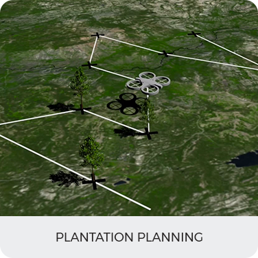
Structured Reforestation & Restoration Support
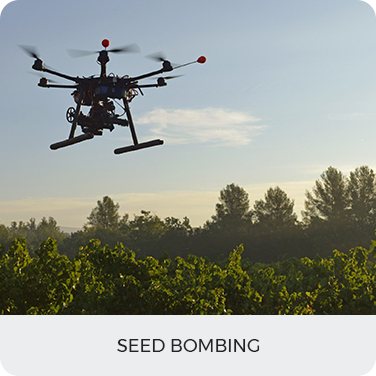
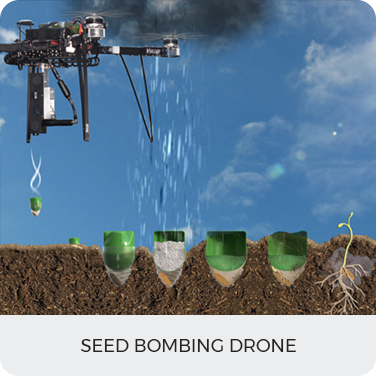
Aerizone goes beyond monitoring to support actionable forestry intervention. Through innovative drone reforestation services, such as aerial seed distribution and precision planting techniques, forests can be restored efficiently even in challenging or remote sites where traditional methods struggle to reach. This approach accelerates reforestation efforts while improving seed distribution accuracy and boosting replanting success rates.