From the Leaders in Drone Data Technology
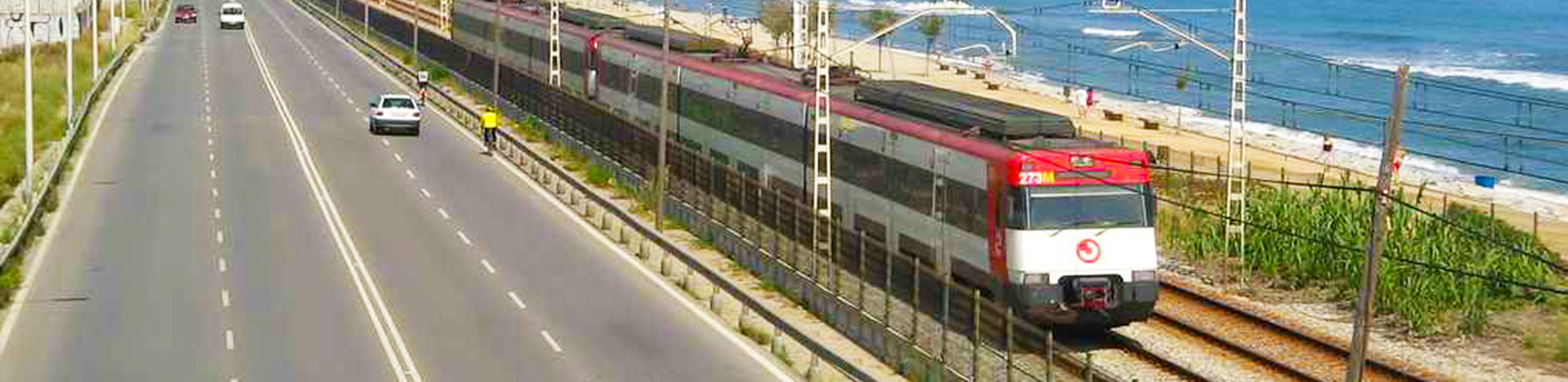
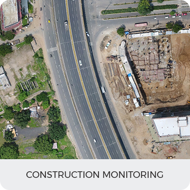
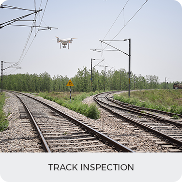
Indian railway owns and operates more than 121,407 Km of total track and more than 100,000s bridges and tunnels all over the country. As one of the most far-reaching infrastructure managers in the country, it has wisely turned toward unmanned aerial systems to increase its productivity, performance and time-sensitive reliability of rail-based public transport. Indian Railway has already completed aerial surveys of various ongoing projects and is confident that drones are a viable solution to the problem at hand.
Our drones can reach a velocity of up to 30-50 mph and hover at a desired location. With affordable capabilities like this, we are confident that the aerial monitoring of any construction activity is just the beginning of effective drone implementation for Indian Railway. It will also allow inspections to be carried out by air without closing the railway and will help in improving performance and reliability. Using a drone means it significantly can reduce the number of times the railway send its engineers onto the tracks.
We are committed for the deployment of this new technology that will optimize overall O&M and reduce delays for projects as well as passengers.
In this regard, we have extensive experience in terms of