Loading

AERIZONE INDUSTRIES

From the Leaders in Drone Data Technology

FORESTRY & WILDLIFE

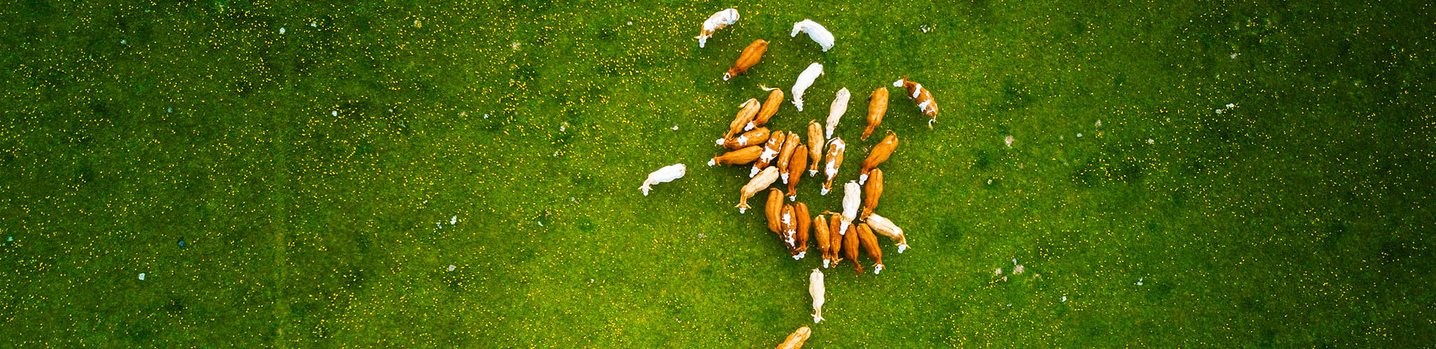
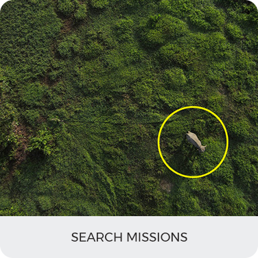
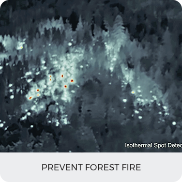
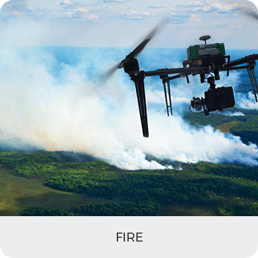
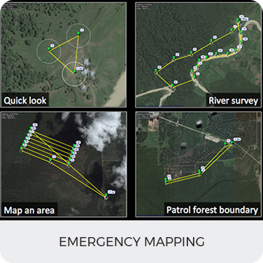
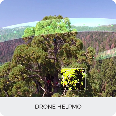
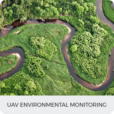
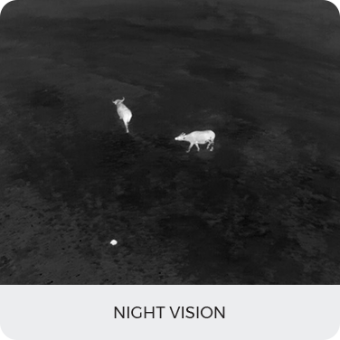
Reduction in forest cover has been a severe issue for a few decades now. Authorities are taking all possible measures to keep a check on deforestation. A drone equipped with advanced sensors can enhance surveillance and reduces the amount of time and manpower to cover such a large forest or land area substantially. Keep a check on wildfires, illegal activities like cutting and trade of forest resources. The presence of drones with the ability to work efficiently at the day as well as night using night vision has proven to serve as a deterrent to poachers and illegal loggers.

  • Emergency Mapping
  • Search and Rescue Missions
  • Prevent Forest Fires
  • Plantation Planning
  • Seed bombing

Benefits

  • Applications will include studies over a large range of forestry fields.
  • Get analytics such as forest dynamics, species detection, forest disturbance evaluation.
  • Get details of small gaps which were difficult to be measured accurately using satellite imagery.
  • Quick implementation requirement in the variety of situations that occur in the sustainable management of forest.

Deliverables

Seed Bombing
Seed Bombing Drone
Search Missions
Prevent Forest Fire
Plantation Planning
Fixed Wing
Fire
Emergency Mapping
Drone Helpmo
UAV Environmental Monitoring
Night Vision

Contact us today to see what we can do for your business

CONTACT US